Crime in Westwood, Michigan
Major crime in Westwood is 1.6 times the U.S. rate per resident: 1.8 times for persons crimes and 1.6 times for property crimes. Expected major crimes are down 8.9% from a year earlier.
Modeled estimates per resident, not counts of incidents. How we calculated this
Index: crimes per resident compared with the U.S., where 100 is the U.S. rate and 200 is twice it.
Check an address in Westwood
Motor vehicle theft stands out most, at 2.4 times the U.S. rate
Expected crimes per year in Westwood for each type, and the index against the U.S. rate per resident.
Citywide indexWhere the middle half of residents live
Property crimes
Social disorder
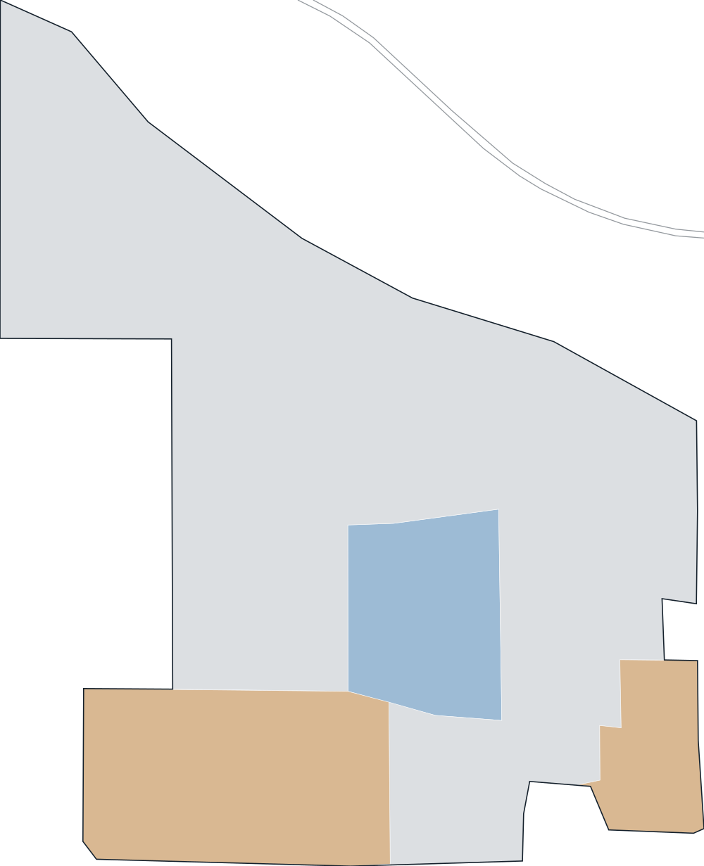
How crime varies across Westwood
The middle half of Westwood residents live in neighborhoods with a major-crime index between 117 and 186; the typical (median) resident's is 176.
- 0–500.0%
- 50–10013.1%
- 100–20065.1%
- 200–40021.9%
- 400+0.0%
Share of residents by the index of their census block group, a neighborhood of roughly 600 to 3,000 people.
Highest on weekday daytimes
Major-crime index by time of week, against the U.S. rate for the same hours.
Major crime fell 8.9% in a year; across Michigan it fell 6.1%
Change in expected crimes, with Michigan as a whole in gray. The past year uses the reporting agencies' year-to-date FBI data; 2031 is the model's projection.
Westwood against U.S. places with 5,000 to 10,000 residents
211 of the 2,163 other places of this size have a higher major-crime index than Westwood; the middle of the group is 63. The 9 nearest in population:
Major-crime index per resident, U.S. = 100; residents in gray.
Westwood has a higher major-crime index than 4 of its 8 nearest neighbors
The 8 nearest cities and towns we cover, by major-crime index. The closest, Kalamazoo (2 mi), is 38% above Westwood's rate.
Major-crime index per resident, U.S. = 100; distances between where residents live, in miles.
Questions about crime in Westwood
What are the most common crimes in Westwood?
By expected count, the most common persons and property crimes are other larceny (about 65 a year), theft from vehicle (about 49 a year) and aggravated assault (about 42 a year). Compared with the U.S., motor vehicle theft stands out most: 2.4 times the U.S. rate per resident.
How we calculated this
Each police agency's crimes, as reported to the FBI, are spread across the census block groups it serves using population, jobs, points of interest and, where available, local incident records. Westwood's figures add up its 9 block groups. The index compares crimes per resident with the U.S. rate.
- Westwood has no published incident records in our data, so its estimate relies on agency totals and neighborhood characteristics.
- 44.8% of residents live in block groups whose estimate has high confidence (80% interval within about 5x).
- Rates are per resident, so places where many people work or visit but few live, such as downtowns, airports and stadiums, can read high.
- Disorderly conduct and trespassing are modeled, because the FBI records them only through arrests.
- Residents: 8,835. Model updated Oct 20, 2026. Release 2026-2026-10-20-2
Full method and validation·Data sources
CrimeMetric. "Crime in Westwood, Michigan." Vorp Labs, model updated Oct 20, 2026. https://crimemetric.com/mi/westwood
Use these numbers in your product
Any U.S. address by API or MCP, free for 10,000 lookups a month.
Get a free API keyNearest cities we publish
Major-crime index, U.S. = 100